


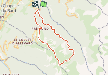

12 km | 26 km-effort


User


FREE GPS app for hiking
 SityTrail
IGN / Geographical institutes
SityTrail World
The world is yours!
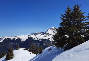
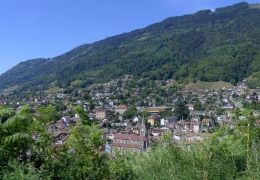
Trail Running of 15.6 km to be discovered at Auvergne-Rhône-Alpes, Isère, La Chapelle-du-Bard. This trail is proposed by tophe73.

Walking

Walking

Mountain bike
Walking
Walking
Walking
Walking
On foot
Touring skiing